LiDAR works by sending laser light pulses toward a scene and measuring how long the reflections take to return, allowing a device to build an accurate 3D map of distance and shape. Engineers and product teams use LiDAR to measure range, velocity, and surface geometry with high precision for robotics, mapping, and sensing. Below are quick, technical facts to ground the explanation before diving into methods and components.
Key Takeaways
- LiDAR works by emitting laser pulses and measuring the time it takes for reflections to return, enabling precise 3D mapping of distances and shapes.
- The technology uses Time-Of-Flight, phase shift, and FMCW methods to measure range and velocity with high accuracy.
- Core hardware components include a laser source, optics, beam steering, detectors, and electronics that work together to generate reliable 3D data.
- Data processing converts raw laser returns into accurate point clouds through filtering, range calculation, and sensor fusion for applications like mapping and navigation.
- LiDAR excels in low-light and complex environments making it invaluable for autonomous vehicles, robotics, and surveying, though it can be limited by adverse weather and high costs.
- Effective LiDAR system design balances range, resolution, and cost to suit specific applications rather than relying on a one-size-fits-all solution.
What LiDAR Is And Why It Matters
LiDAR (Light Detection and Ranging) is an active remote-sensing technology that creates 3D representations by timing laser light reflections. Unlike passive cameras, LiDAR supplies direct distance measurements unaffected by color or texture, which makes it especially useful in low‑light or featureless environments. It matters because it converts the physical world into metric point clouds that systems can use for navigation, surveying, and object detection, tasks where precise geometry beats visual appearance.
How LiDAR Measures Distance: Time‑Of‑Flight, Phase Shift, And FMCW
Three main ranging techniques power LiDAR: Time‑Of‑Flight (TOF), phase‑shift, and Frequency Modulated Continuous Wave (FMCW). TOF sends short pulses and computes distance from round‑trip time: it’s simple and scales to long ranges but needs fast timing. Phase‑shift compares the phase of a reflected continuous wave to infer range with high resolution at short to medium distances. FMCW sweeps frequency continuously and extracts both range and radial velocity from beat frequencies: it’s gaining traction for its immunity to interference and ability to measure speed directly.
Key Hardware Components Of A LiDAR System
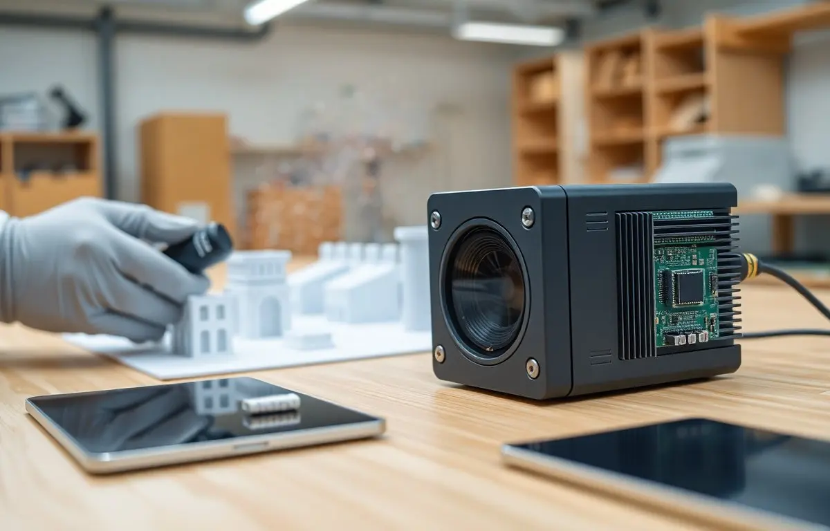
A LiDAR system combines several subsystems to convert light into usable 3D data: a laser source, optics, a beam steering mechanism, detectors, and timing/electronics. Each part affects range, resolution, eye safety, and cost. Below are the core hardware elements and how they interact to produce reliable returns.
From Raw Returns To 3D Point Clouds: Data Processing Pipeline
Processing turns time or phase measurements into usable 3D data through several steps: noise filtering, range calculation, spatial registration, and point‑cloud construction. First, signal conditioning removes spurious returns and compensates for atmospheric attenuation. Then timestamps or beat frequencies convert to ranges: combined with steering angles, each return becomes a 3D point. Post‑processing often applies calibration, outlier removal, and sensor fusion (with IMU/GNSS or cameras) to produce accurate, georeferenced point clouds ready for mapping, segmentation, or SLAM algorithms.
Common Applications, Strengths, And Practical Limitations
LiDAR excels at precise geometry capture and robust range sensing, so it’s common in autonomous vehicles, surveying, forestry, robotics, and AR/VR spatial mapping. Strengths include accurate depth measurements, angular resolution options, and reliable performance in low‑light. Limitations: performance degrades in heavy rain, fog, or dust: reflective or absorptive surfaces can produce weak or mixed returns: and high‑resolution systems remain costly. Designers balance range, resolution, frame rate, and cost to match an application’s needs rather than assuming one LiDAR fits all.
Frequently Asked Questions about How LiDAR Works
What is LiDAR and how does it work?
LiDAR uses laser light pulses to measure distances by timing how long the reflections take to return. This creates accurate 3D maps of objects and surfaces by converting the physical world into point clouds.
How does LiDAR measure distance using Time-of-Flight?
Time-of-Flight LiDAR sends short laser pulses and calculates distance based on the round-trip time it takes for the light to return, enabling long-range and accurate distance measurements.
What are the main components of a LiDAR system?
A LiDAR system includes a laser source, optics, beam steering mechanism, detectors, and electronics that work together to emit light pulses and process their reflections into 3D data.
Why is LiDAR preferred over cameras in low-light or featureless environments?
Unlike cameras, LiDAR provides direct distance measurements independent of color or texture, making it effective in low-light and environments lacking visual features.
What are some common applications of LiDAR technology?
LiDAR is widely used in autonomous vehicles, surveying, forestry, robotics, and AR/VR spatial mapping due to its precise depth measurement and spatial awareness capabilities.
What limitations should be considered when using LiDAR?
LiDAR’s performance can decrease in conditions like heavy rain, fog, dust, and on reflective or absorbing surfaces, and high-resolution systems can be expensive.